Hiking in the Algarve's natural parks
The Algarve is better known for beaches than boots, but the region has two natural parks, a long-distance trail across its hills and some of the best coastal walking in southern Europe. These tips will help you choose a route and walk it comfortably.
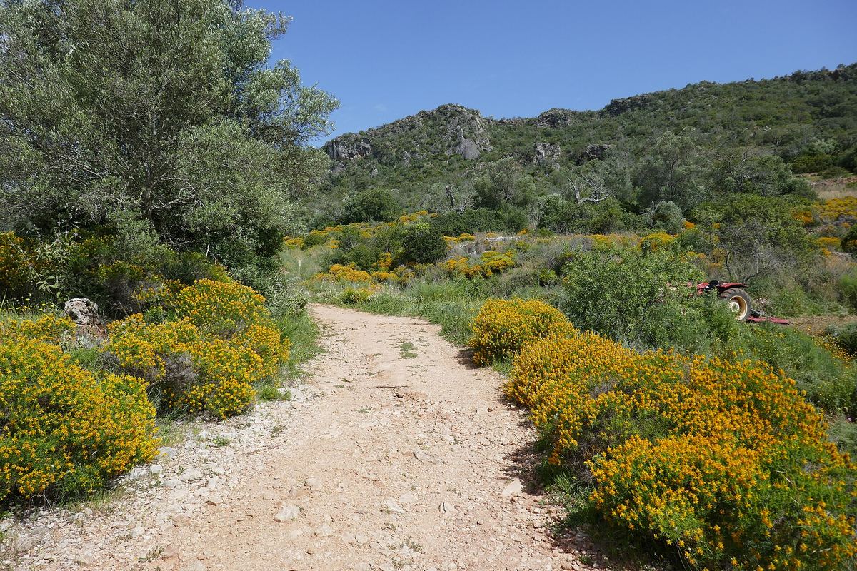
The two natural parks
Ria Formosa
The Parque Natural da Ria Formosa protects a lagoon system of salt marsh, channels and sandbar islands stretching roughly from Faro to Cacela Velha. It became a natural park in 1987. Walking here is flat and easy: boardwalks over the marsh, paths along salt pans, and quiet trails past tide mills. It is one of the best places in Portugal for birdwatching, with flamingos, spoonbills and the purple swamphen.
Good starting points are the park centre at Quinta de Marim near Olhão, which has a short nature trail and an old tide mill, and the Ludo area west of Faro.
Southwest Alentejo and Vicentine Coast
The Parque Natural do Sudoeste Alentejano e Costa Vicentina runs north from Burgau along the entire west coast and into the Alentejo. It was created in 1995 and protects one of the wildest coastlines in Europe: high cliffs, empty beaches, dunes and heath. The Rota Vicentina network crosses it, including the Fishermen's Trail along the cliff edges, which is sandy and tiring but spectacular.
Three walks to start with
Seven Hanging Valleys
This waymarked coastal trail links Praia da Marinha with Praia do Vale de Centeanes near Carvoeiro. It is about six kilometres one way, mostly along the clifftop, dipping into the small dry valleys that give the walk its name. Along the way you pass sinkholes, arches and the viewpoint above the Benagil cave. Start early: there is almost no shade.
Rocha da Pena
Inland from Loulé, the Rocha da Pena is a limestone ridge rising to around 479 metres, protected as a classified site. A loop of roughly five kilometres climbs to the plateau, with views across the barrocal (the limestone belt between coast and hills) towards the sea. In spring the slopes are full of wild orchids and rockroses.
Fóia, Serra de Monchique
The highest point of the Algarve, Fóia, reaches about 902 metres. Several paths climb from the spa village of Caldas de Monchique and from Monchique town through cork oak, chestnut and eucalyptus. On clear days you can see the whole western coast.
The Via Algarviana
The Via Algarviana is a long-distance footpath of about 300 kilometres, waymarked as GR13. It crosses the inland hills from Alcoutim on the Guadiana river to Cabo de São Vicente, the southwestern tip of Europe. Few people walk it end to end, but single stages make excellent day walks through villages that see few visitors.
Tips that make a difference
- Carry more water than you think. Two litres per person for a half-day walk is a sensible minimum in warm weather.
- Respect the cliff edges. Paths on the coast often run close to unfenced drops of crumbling rock.
- Check the wind on the west coast. A strong north wind makes the Fishermen's Trail hard going.
- Stay on marked paths in the natural parks. Dunes and salt marsh are fragile.
- Watch out for processionary caterpillars on pine trees in late winter. Keep dogs away from them.
- Download maps offline. Phone signal is patchy in the hills.
Combine a walk with a swim: many coastal routes end at beaches from our list of quieter Algarve beaches.
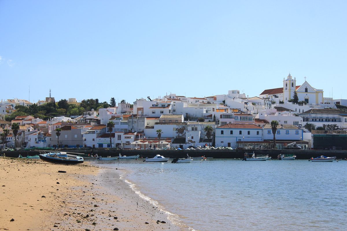 11 traditional fishing villages in the Algarve
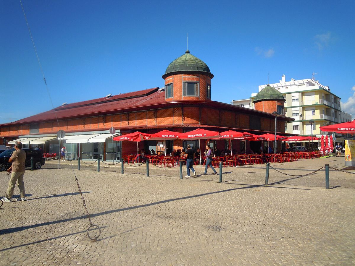 The best seafood festivals in the Algarve
 Surfing in the Algarve: where and when
